Sometimes, when tech and use case partners work together really well, prototypes end up with a couple of neat features that weren’t even listed in the original requirements docs. A good example for this is the current version of the XR4DRAMA main mobile application: up2metric and DW closely cooperated to augment the XR features.
Early drafts envisioned a mobile mapping and recording app that would also be able to lead users to selected points of interest (POIs) via augmented reality (AR) navigation. This was implemented early in year two of the project. During a couple of recent consortium meetings and calls, u2metric and DW decided to take the spatial computing features one step further. As of November 2022, users (on Android and iOS!) can do the following:
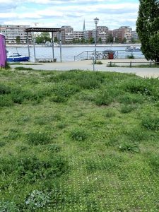
Put a grid on the ground at a favorite spot…
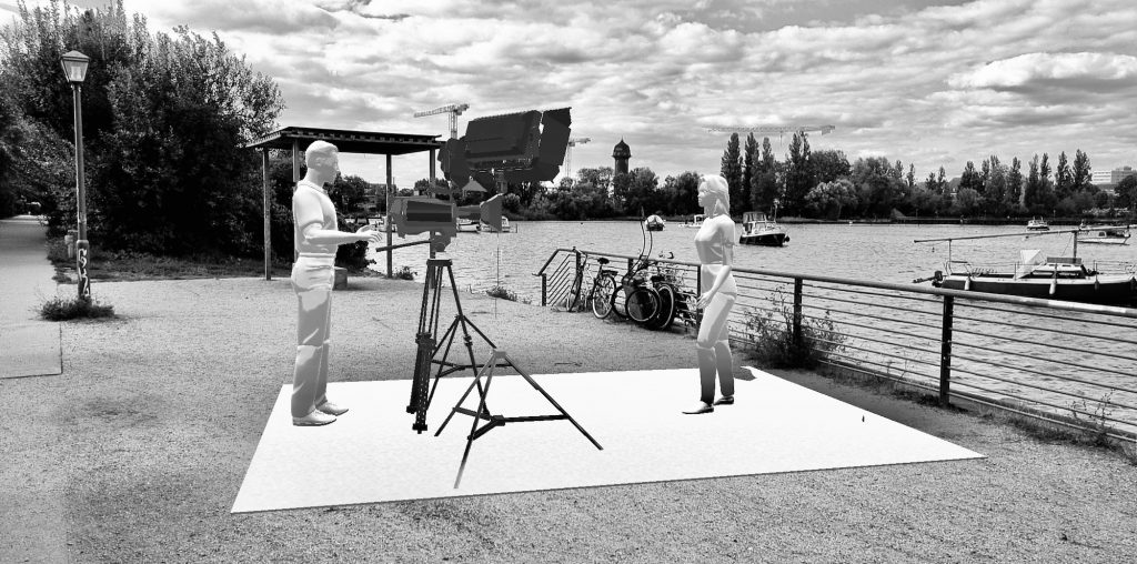
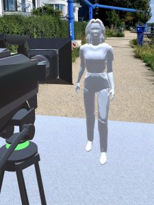
…place a specific virtual object, e.g. a classic piece-to-camera (PTC) setup (designed by a DW production specialist)…
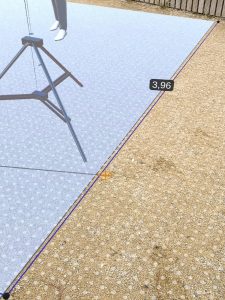
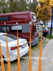
…make a couple of XR-supported measurements, snap a photo, attach everything to a specific POI…
…and eventually leave for the next place on your task list – e.g. a bus stop or a cafe – via XR navigation:
A number of test runs showed the application is already pretty stable – and fun to use. Future iterations will address issues like XR asset management, XR asset scalability, and overall performance. Stay tuned for updates!